#18 - My Sintra's Peaks

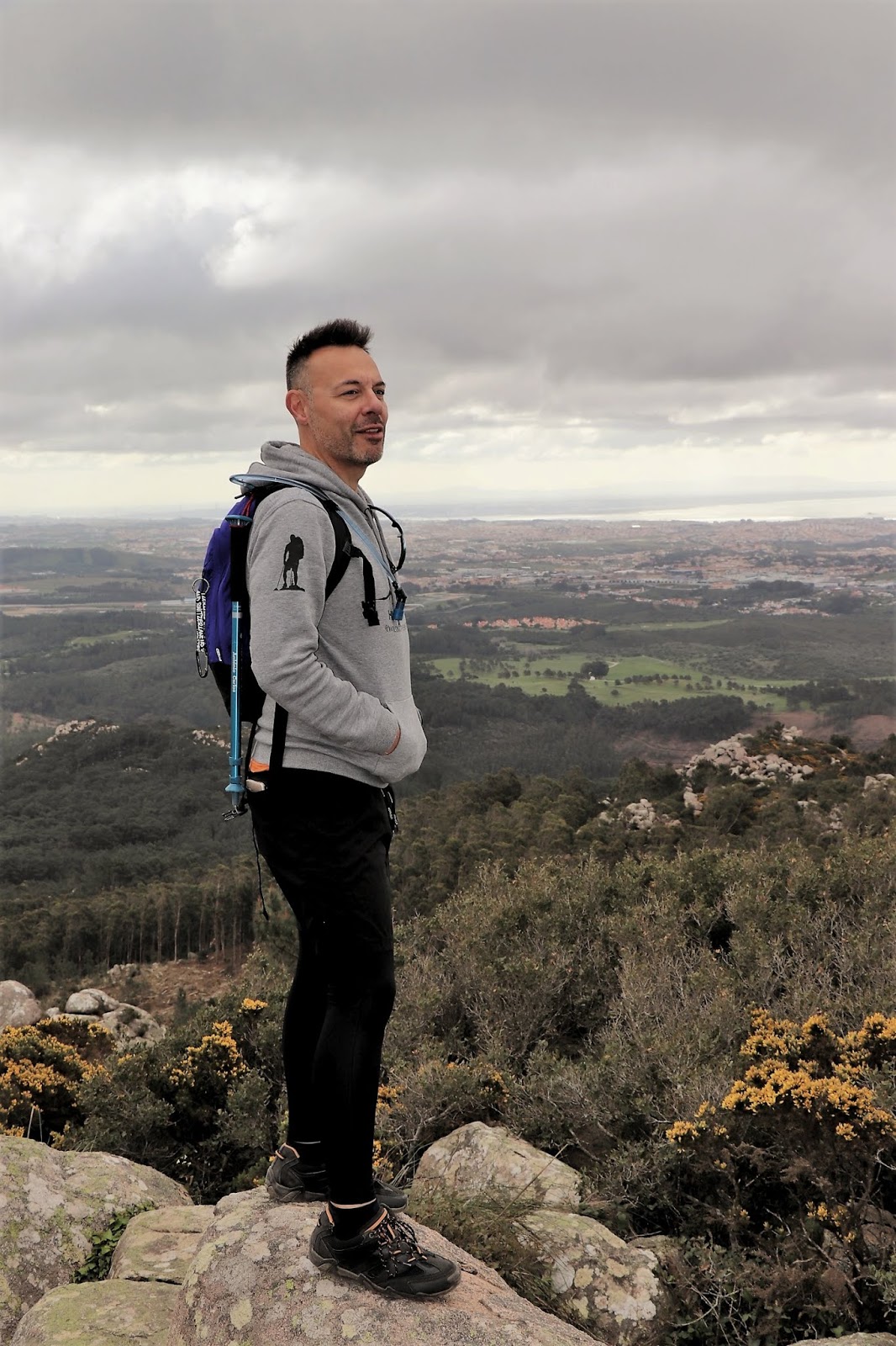
As they say "the most difficult paths take us to the most fantastic places" and the truth is that in the Serra de Sintra there are dozens of places that allow us to enjoy superb landscapes if we manage to get there.
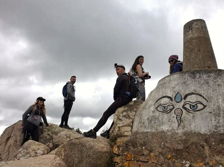
I highlight here four Peaks of Sintra that I strongly advise but I emphasize the difficulty in two of them that are of a high level so you should only do it if you feel prepared for a radical climb and always accompanied because safety comes first! All of them are classified by DIFFICULTY from 1 to 5, being 1 easier and 5 extremely difficult
------------------------------------------------------------------------------------------------------------
PEAK BLACK CROSS (unofficial name)

Coordinates: 38º46'34.8''N, 9º24'30.3''W
Difficulty: 4 (5 if the rocks are damp or wet)
The easiest way to climb will be on the west side of the boulder, starting with a dirt track used for planting trees but then it closes and becomes extremely difficult, requiring you to climb many stones and rocks, some extremely smooth which makes it difficult to adhesion, especially if they are damp. Already at the top some very technical passages. Special care for those with high dizzness.
Height: 505 meters
Access: Access to this peak can be done in several ways. I have knowledge of three, but there are other paths coming from trails that I have not yet done and that go through it.
Access 1 - Directly through the N247 that passes close to this peak, with parking nearby and access to it
Access 2 - From Lagoa Azul, bypassing the Lagoon and following an unregistered trail that is there (about 9km of trail). Follow markings (blue circles) on rocks and trees
Access 3 - From the parking lot next to the Tapada do Saldanha sign (38º45'37.5''N, 9º24'29.8''W) on the Sintra road (N9), following the dirt road and entering Tapada do Saldanha.

 |
| Acesso 2 |
 |
| Acesso 3 |


------------------------------------------------------------------------------------------------------------
WBE PEAK (unofficial name)

Coordinates: 38º46'14.4''N, 9º27'15.7''W
Difficulty: 3
Cluster of rocks not too complicated to climb but with a very technical part where you have to climb inclined "stuck" between two large stones
Height: 530 meters
Access: This peak is close to Peninha, next to the picnic area that is on Estrada Student da Peninha. The ideal will be to make this climb in the continuation of PR10 by the return path that comes from the Adrenunes tapir.


------------------------------------------------------------------------------------------------------------

Coordinates: 38º47'32.6''N, 9º23'28.6''W
Difficulty: 2
Climb up a dirt track, just beside the base of Penedo, then continue with a small climb through half a dozen rocks that are easy to climb.
Height: (I don't have information)
Access: Access is from the south side through the route from Villa Sassetti (see here) or from the opposite side, from the Castelo dos Mouros.


------------------------------------------------------------------------------------------------------------
PEDRA AMARELA

Coordinates: 38º45'51.9''N, 9º26'11.4''W
Difficulty: 1
One of the easiest peaks I know in Sintra and with a stunning view. Next to the Watchtower. Without any difficulty in climbing.
Height: 406 meters
Access: From the Rio da Mula Dam, about 5km walk there, forming part of the PR1 CSC trail - Rota das Quintas


Comentários
Enviar um comentário